|
|
 |
Blue Ridge Vacations – Boone NC Hiking Trails Guide |

|
Follow Us and Subscribe:    |
Western North Carolina Hiking Trails Guide |
#Ad • Find The Best Western North Carolina Vacation Guides |

Hiking Trails Guide For Banner Elk, Blowing Rock and Boone NC
Blue Ridge Vacations Guide Hiking Trails Guide for the Western North Carolina High Country of Banner Elk, Blowing Rock and Boone NC features many Hiking Trails along the Blue Ridge Parkway, part of the National Park Service.The Blue Ridge Parkway National Park offers many Western North Carolina Blue Ridge Mountains Hiking Trails. Follow Us On YouTube
|
Western North Carolina Hiking Trails |
North Carolina High Country Hiking Trails on The Blue Ridge Parkway
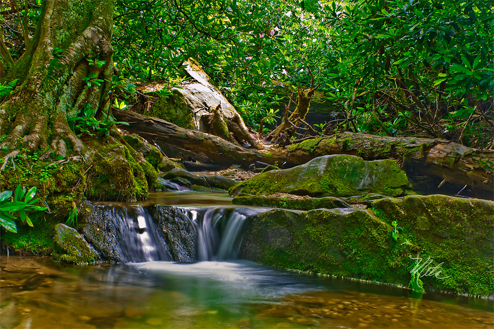
Appalachian TrailBass Lake Blowing Rock NC (Mile Post 294.0, 0.9, easy) Horseback Riding | Fishing Trout Lake Blowing Rock NC (Mile Post 294.6, 1.0 easy) Horseback Riding | Fishing Sims Creek Hiking Trail Photo Above (Mile Post 295.4, 1.0 easy) Boone Fork Hiking Trail (Mile Post 296.5, 4.9 strenuous) Price Lake Blowing Rock NC (Mile Post 296.7, 2.3, easy/moderate) Camping | Canoe Rentals | Fishing Rough Ridge Hiking Trail (Mile Post 302.4, 3.2, moderate) Beacon Heights Hiking Trail (Mile Post 305.2, 0.3, moderate) Here are the official Blue Ridge Parkway Hiking Trail Maps and Grandfather Mountain Hiking Trails in the Blue Ridge Mountains around Blowing Rock and Boone NC. These PDF files below can be printed out or stored on your iPhone or iPad, and later viewed in iBooks. National Park Service: (828) 298-0398 | (828) 271-4779
Blue Ridge Parkway Rangers: 1-800-PARK-WATCH
The Blue Ridge Parkway Hiking Trails
The Blue Ridge Parkway Hiking Trails and Grandfather Mountain Hiking Trails can suddenly turn dangerous if you get caught in a severe afternoon thunderstorm, get injured on the trail, get lost off the trail, or end up in the woods after dark.Appalachian Trail Grandfather Mountain State Park Profile Trail Map Grandfather Mountain Hiking Trails Map List of Hiking Trail Maps Blue Ridge Parkway Map Julian Price Park Hiking Trails – Video Linville Falls Hiking Trails – Video Moses Cone Park Carriage Trails Tanawha Hiking Trail Doughton Park Trails Severe Snow Rated Tires
Winter Driving Techniques can take years to master, and vary from one vehicle to another. Severe Snow Rated Tires play an important role! Having lived year-round in the Blue Ridge Mountains since 1998, our Toyota 4Runner 4x4 is equipped with Severe Snow Rated Goodyear DuraTrac Tires for extreme winter travel in the Blue Ridge Mountains of Western North Carolina – In all Four Seasons.Severe Snow Rated Snow Tires: For All Weather Driving in the Western North Carolina Blue Ridge Mountains, we use and highly recommend Severe Snow Rated Goodyear DuraTrac Tires, which are perfect for our windy and snowy mountain roads. Severe Snow Rated, but can also be driven year round on roads, highways, gravel, mud, snow and ice. Learn Expert Winter Driving Tips
|
Western North Carolina Hiking Books |
 #Ad • Ultimate Hikers Gear Guide
– Andrew SkurkaWhether you’re a first-time backpacker, an occasional weekend warrior, or a seasoned long-distance trekker, this guide is a must for any backpacking, hiking, or camping trip. Supreme long-distance hiker Andrew Skurka accomplished adventure athlete, speaker, guide, and writer shares his knowledge in this essential guide to backpacking gear and skills. Skurka recounts what he’s learned from more than 30,000 miles of long-distance hikes, including the Appalachian Trail, Pacific Crest, and Continental Divide Trails, and the 4,700-mile Alaska-Yukon Expedition. |
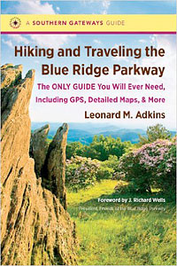 #Ad • Hiking and Traveling the Blue Ridge Parkway
– Leonard AdkinsVeteran hiker Leonard M. Adkins includes information on every trail that touches the Parkway, including the Appalachian Trail, the Mountains-to-Sea Trail, and other public pathways on national park, state park, national forest, municipal, and private lands. You’ll find GPS coordinates for official Parkway trailheads, along with fifty maps and many photographs of what you’ll see along the way. |
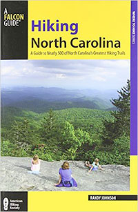 #Ad • Hiking North Carolina
Randy JohnsonThis newly revised and expanded edition describes nearly 500 routes from the Blue Ridge Parkway and the Great Smokies—Eastern America’s highest mountains—across the rolling Piedmont, to the Outer Banks archipelago. Choose a challenging backpack adventure on the Appalachian Trail, an easy family ramble on an urban greenway, a trek through a lush subtropical enclave, or a hike to photograph wildflowers and waterfalls. |
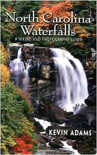 #Ad • North Carolina Waterfalls
– Kevin AdamsSince its original publication in 1994, North Carolina Waterfalls has been the most comprehensive guide available to one of the prime natural features of the Tar Heel State. This new edition includes over 600 waterfalls, with detailed directions and trail and beauty ratings for the major waterfalls on public land. For the first time, waterfalls located on private land will be listed, although directions won’t be provided. |
Western North Carolina Hiking Maps |
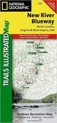 #Ad • New River Blueway Topographic Map
– National GeographicCovers: George Washington Nat. Forest, Jefferson Nat. Forest, New River Canoe Trail, Claytor Lake State Park, Mt. Jefferson State Park, New River Trail State Park, New River State Park, Shot Tower Hist. Park, River Outfitter Locations. Towns: Boone, NC; Jefferson, NC; Mouth of Wilson, VA; Fries Junction, VA; Jackson Ferry, VA; Radford, VA; Pulaski, VA; Pearisburg, VA; Peterstown, WV. Includes UTM grids for use with your GPS unit. |
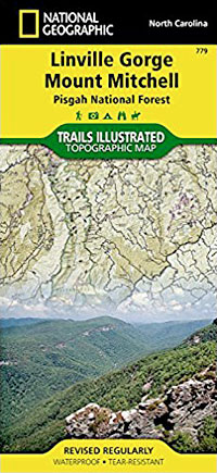 #Ad • Linville Gorge Mount Mitchell Topographic Map
– National GeographicCovers: Linville Gorge and Mount Mitchell provides an unparalleled tool for exploring these remarkable features within Pisgah National Forest. This map includes such key areas of interest as Linville Gorge Wilderness, Mount Mitchell State Park, Craggy Gardens, Grandfather Mountain Biosphere Reserve, Lake James State Park, and Brown Mountain OHV Area. |
Follow Us and Subscribe: |
 Blue Ridge Vacations
|
Boone NC Vacations and Travel Guide. Blowing Rock NC Vacations and Travel Guide. Banner Elk NC Vacations and Travel Guide. Mobile Page |
| ©2024 Blue Ridge Vacations. All Rights Reserved. Western North Carolina Vacations and Travel Guide for Banner Elk, Blowing Rock and Boone NC. |